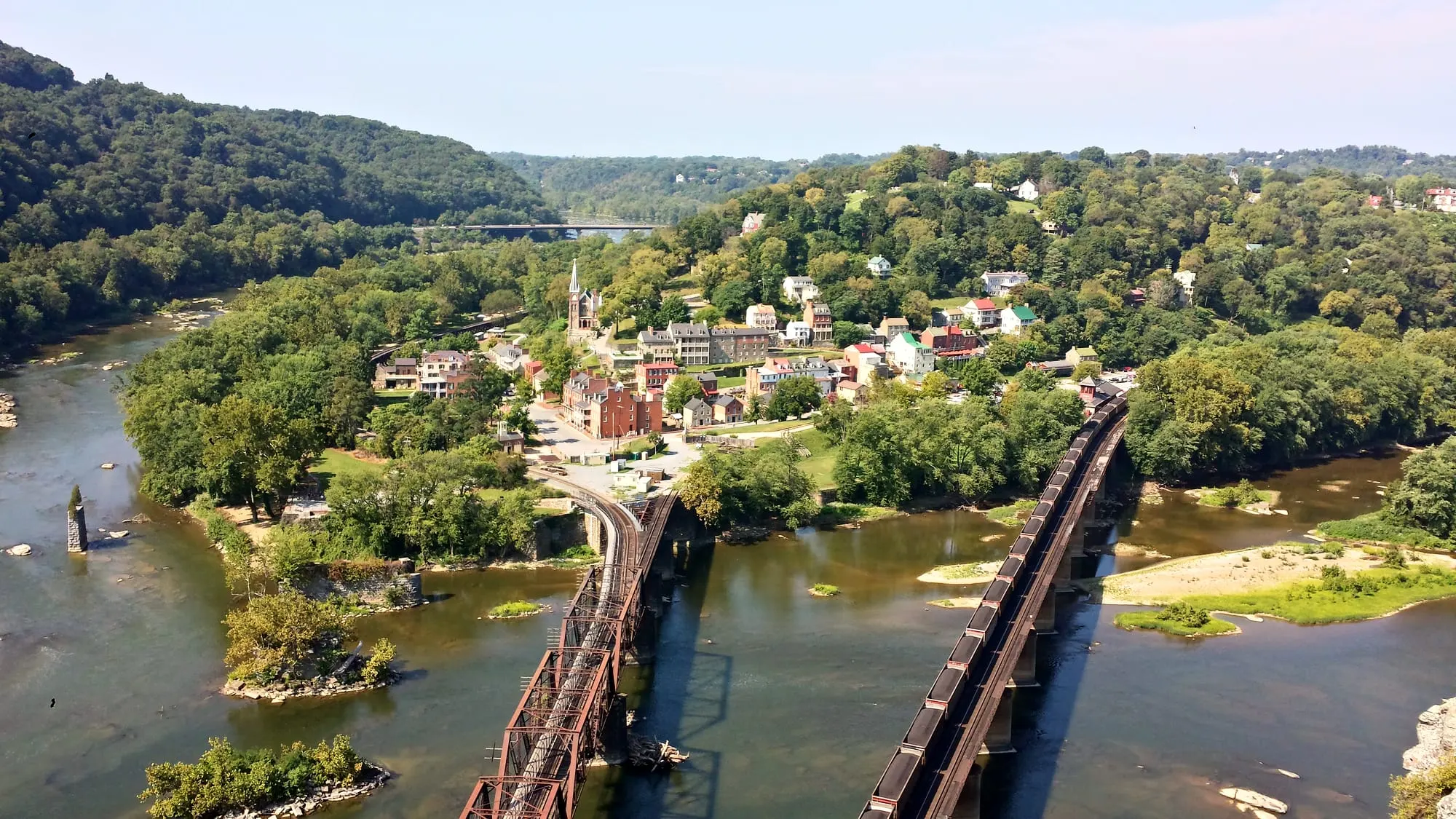
Harpers Ferry, West Virginia: Where the rivers meet.
Two rivers, three states and two centuries of American history in one walkable town. An independent guide, fact-checked and kept current.
Start here
Harpers Ferry (often written Harper's Ferry) sits at the eastern tip of West Virginia, at the spot where the Shenandoah River runs into the Potomac and cuts through the Blue Ridge. Most of the historic Lower Town belongs to Harpers Ferry National Historical Park, and the town of Harpers Ferry and neighboring Bolivar sit on the hill above it.
This guide answers the practical questions first (where to park, what it costs, what's open right now), then helps you get the most from a day or a weekend: the hikes, the rivers, the food and the history.
Before you go (as of November 2026)
- The Potomac footbridge to Maryland Heights, the C&O Canal and the Appalachian Trail north has been closed since July 27, 2026, with no reopening date. A limited NPS shuttle runs to C&O Lock 34 instead. Details
- Four Lower Town museums are temporarily closed: the Master Armorer's Quarters, Black Voices, the Civil War Museum and Harper House.
- The park is cashless and has no trash cans, so bring a card and carry out what you bring in.
Quick facts (county, zip code, population, why there's no apostrophe) are on our Harpers Ferry facts page. For day trips beyond town, see near Harpers Ferry.
Explore the guide
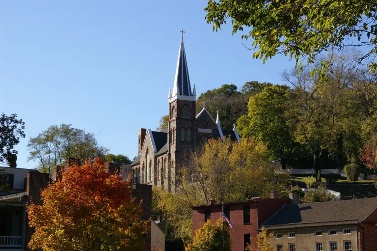
Plan Your Visit to Harpers Ferry
Plan a Harpers Ferry visit: park hours, how much time you need, the best time to go, getting there and what is…
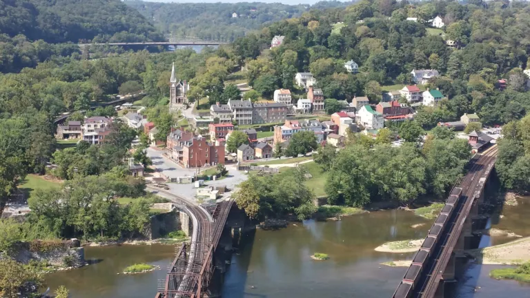
25 Best Things to Do in Harpers Ferry, WV
The best things to do in Harpers Ferry, WV: Lower Town history, Maryland Heights and Jefferson Rock, the rivers, food and nearby…
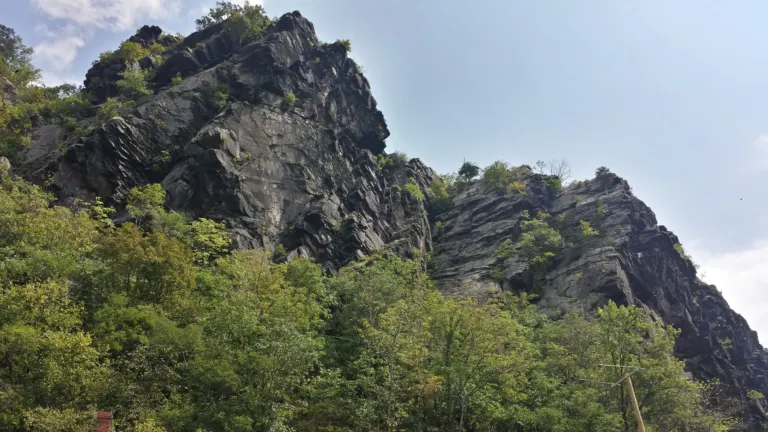
Best Hikes in Harpers Ferry: Maryland Heights, Loudoun Heights, Weverton Cliffs & the AT
Every Harpers Ferry trail compared with NPS distances, climbs and times, plus the Appalachian Trail, dog rules and how the footbridge closure…
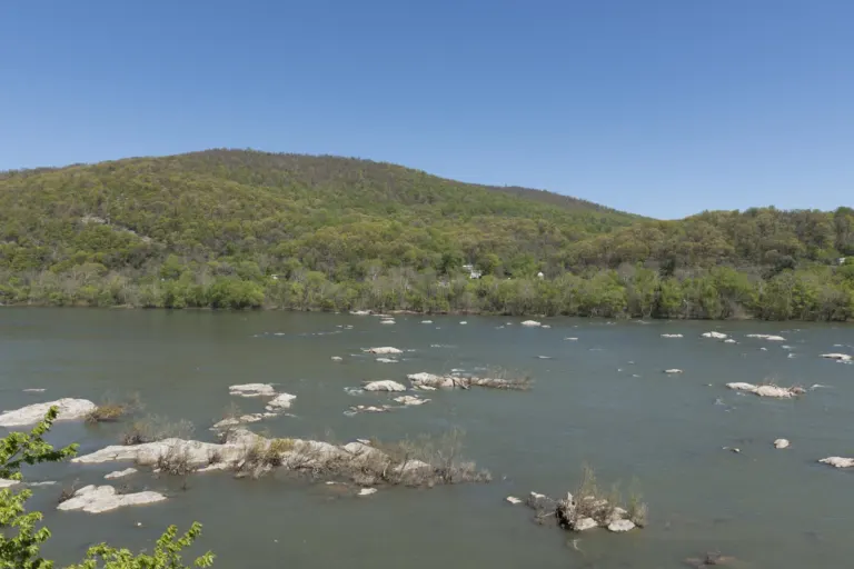
Harpers Ferry Tubing & Rafting: Outfitters, River Levels & Safety Compared
Compare the three Harpers Ferry tubing and rafting outfitters, learn the Shenandoah Staircase rapids, read the river gauges and know when to…
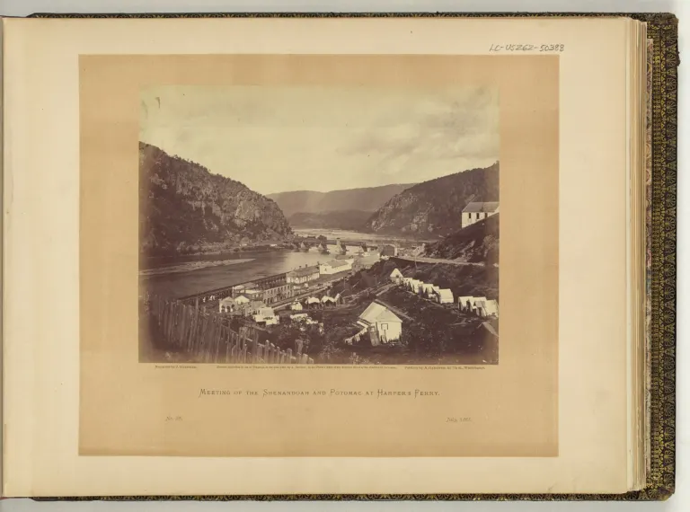
Harpers Ferry History: From Armory Town to Civil War Prize
Harpers Ferry history in one timeline: Robert Harper's ferry, the U.S. Armory, John Brown's raid, the Civil War, Storer College and the…
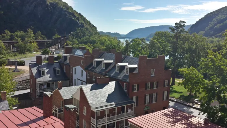
Where to Stay in Harpers Ferry
Where to stay in Harpers Ferry, WV: Lower Town and Bolivar inns, Charles Town chain hotels, Shepherdstown, camping, and the Hill Top…
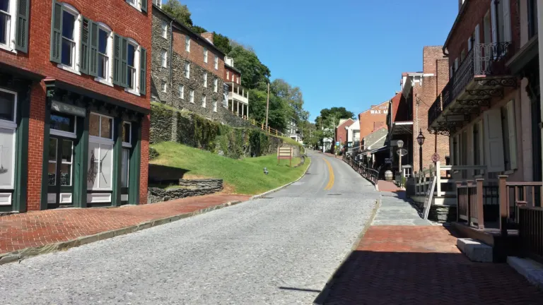
Where to Eat in Harpers Ferry
Restaurants, cafés and bakeries in Harpers Ferry, WV, grouped by Lower Town, Washington Street and Bolivar, and nearby, plus picnic and hours…
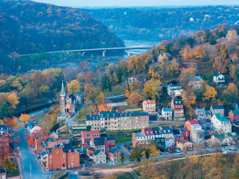
Best Time to Visit Harpers Ferry: Seasons, Weather & Crowds
The best time to visit Harpers Ferry, season by season: weather by month, crowds, fall foliage, river season, winter hours and Olde…
The best way to spend your first day
- Park at the Visitor Center (171 Shoreline Drive, at the US 340 stoplight) and pay the entrance fee. Many navigation apps send you into town instead, so type the address in.
- Ride the park shuttle from the Visitor Center down to Lower Town. Buses run every 10–15 minutes; in winter the last bus is at 5:30pm.
- Walk to The Point, where the rivers meet and Maryland, Virginia and West Virginia come together.
- See John Brown's Fort and the John Brown Museum, then climb the stone steps past St. Peter's Church to Jefferson Rock.
- Have lunch on High Street or Potomac Street, or up the hill on Washington Street (where to eat).
- Choose your afternoon: a museum loop, the Bolivar Heights battlefield, or a longer hike (best hikes).
My first-day advice
On my first trip, in September 2014, I hiked Maryland Heights in the morning and saved Lower Town, St. Peter's and The Point for the next day. If you only have one day, do the same in one: get the big view early, then come down for history and lunch. While the footbridge is closed, Maryland Heights means taking the Lock 34 shuttle, so read how to get there first. Leave room for the area around town, too. I've gone zip lining here, the rivers are made for tubing and rafting, and there's wine tasting in the surrounding countryside (more nearby).
Full details: Plan your visit · Parking, fees & shuttle · Getting here from D.C.
Why people fall for this place
The passage of the Patowmac through the Blue ridge is perhaps one of the most stupendous scenes in nature. … This scene is worth a voyage across the Atlantic.
— Thomas Jefferson, Notes on the State of Virginia (1787), describing the view he saw here on October 25, 1783
The town is small, about 0.6 square miles, but a remarkable amount of American history happened on these streets. George Washington chose it for a national armory. Meriwether Lewis outfitted the Corps of Discovery here in 1803. John Brown's raid in October 1859 pushed the country toward civil war. After the war, Storer College educated formerly enslaved people and their children for nearly ninety years, and in 1906 W.E.B. Du Bois and the Niagara Movement held their first meeting in the United States on its campus.
Today it's also a trail town: the Appalachian Trail runs right through Lower Town, the Appalachian Trail Conservancy calls its headquarters on Washington Street the trail's "psychological halfway point," and the C&O Canal towpath runs along the Maryland shore across the river.
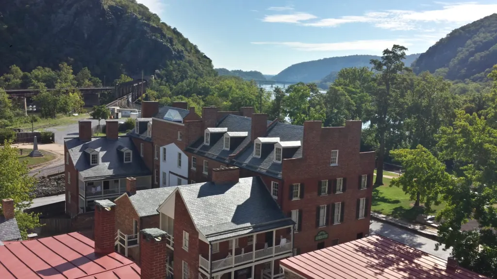
Read the history · John Brown's raid, explained
Plan around the seasons
- Spring: fewer crowds, the trails greening up, and the A.T. Flip-Flop Kickoff festival in April.
- Summer: river season. Commercial tubing runs mainly Memorial Day to Labor Day (tubing & rafting).
- Fall: color in the Eastern Panhandle usually peaks in late October into early November, and October weekends are busy.
- Winter: quiet streets, open trails and Olde Tyme Christmas on the first two weekends of December (Christmas in Harpers Ferry).
Harpers Ferry by season · Live conditions
Dated festivals and park programs are on the Harpers Ferry events calendar, and month-by-month weather is on our best time to visit page.